Introduction to the Knox Legacy Project
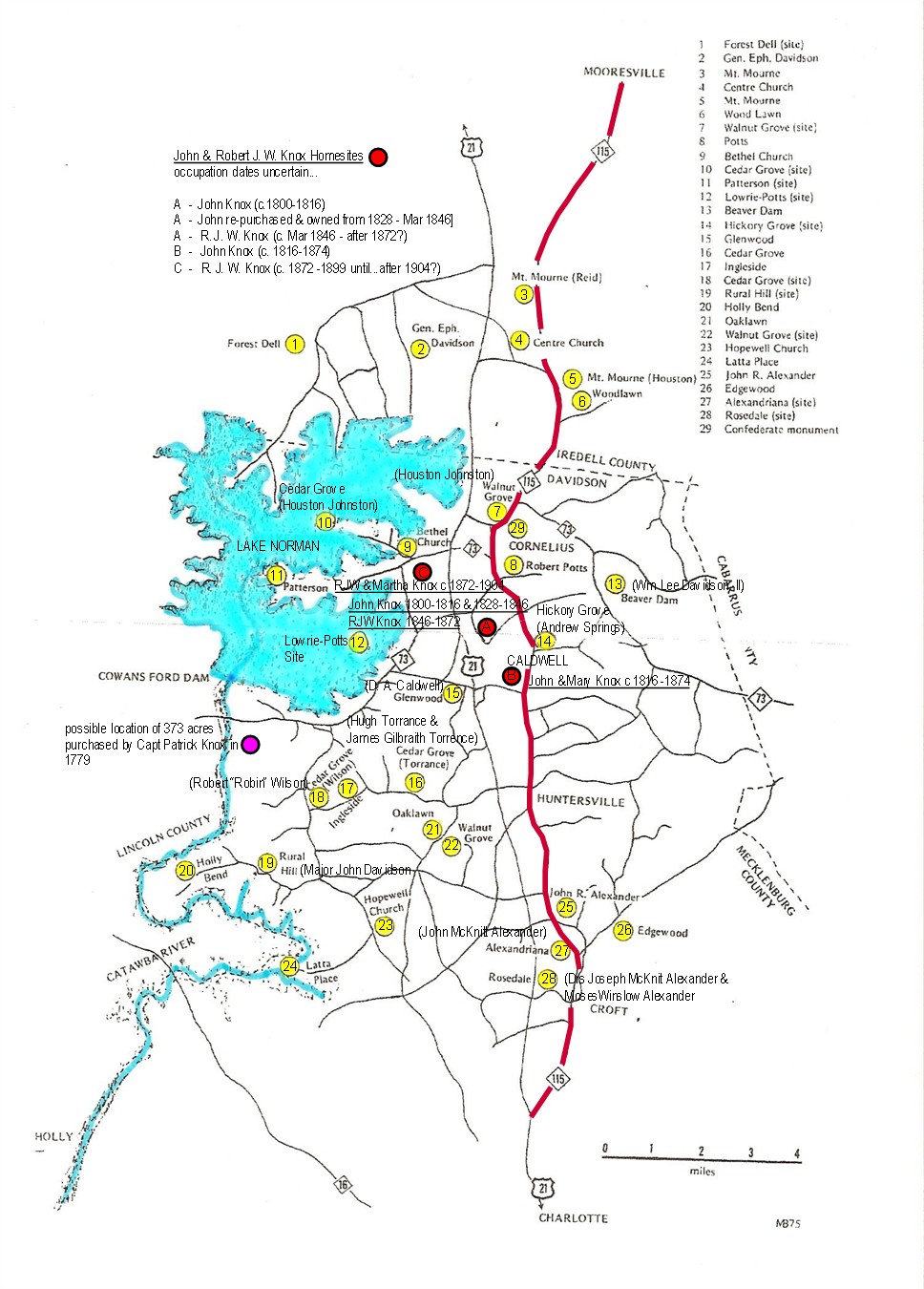
This project started with a simple question: how much of this area can be traced back to the Knox family? For generations, the Knox name has been tied to land, development, and real estate across North Mecklenburg and the surrounding region. But instead of relying on general statements or family stories, this project is about proving it. The goal is to track, document, and map the land and property the Knox family has owned, developed, or influenced over time, not just in recent history, but all the way back to the earliest known settlers in the 1700s.
Primary Sources, Not Assumptions
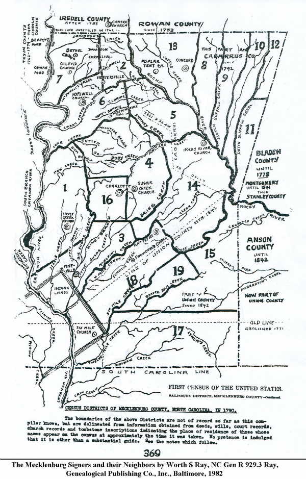
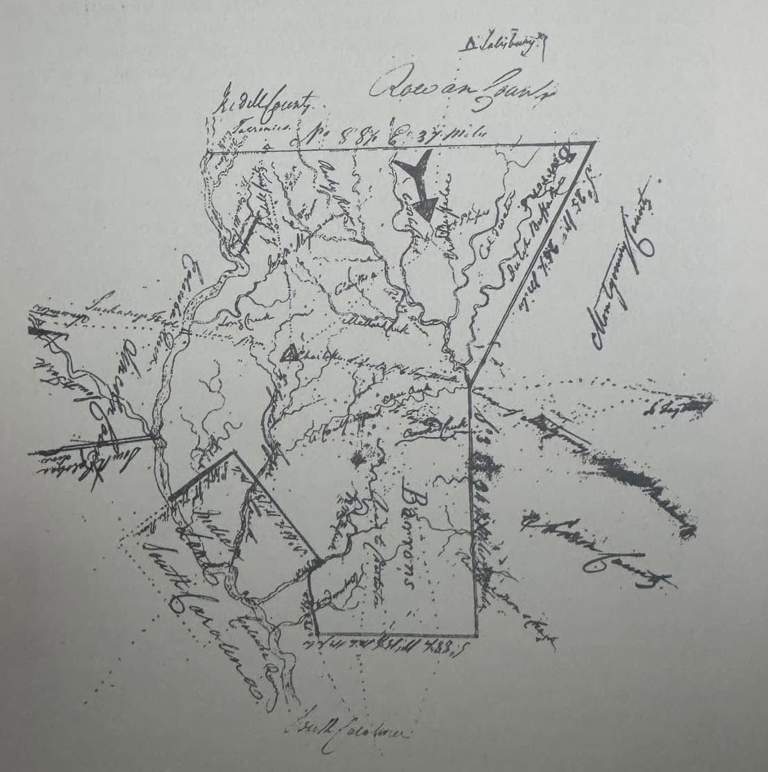
That means going far beyond surface level research. Every piece of information used in this series comes from primary sources: estate records, land deeds, wills, receipts, and archived documents. Contributions from family researchers like Karen Fesperman Knox, along with more than 30 folders of material from the University of North Carolina at Chapel Hill's historical collections, have helped fill in gaps and confirm connections that would otherwise be impossible to trace.
From there, the process becomes one of cross-referencing: matching names, tracking land transfers, deciphering old English cursive handwriting, comparing estate distributions, and verifying relationships to build a solid timeline.
Names That Repeat, Records That Don't
It has not been easy. One of the biggest challenges is the repetition of names across generations. "John Knox" alone appears multiple times, often within overlapping timeframes, which makes it difficult to confidently track lineage without cross-referencing multiple documents. On top of that, many records from the 1700s and 1800s were either never formally recorded or have been lost entirely.
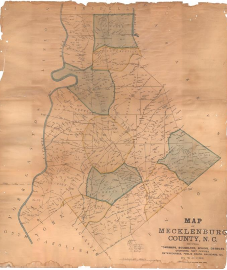
Even when land ownership is clear, understanding what was built on that land is a different challenge altogether. Deeds confirm property, not structures, and often reference landmarks that no longer exist. Town records are inconsistent, and newspapers tend to only mention larger or more notable developments like mills or public buildings.
What's left behind is incomplete, so every conclusion must be backed by more than one source whenever possible, and in some cases by educated assumptions grounded in supporting evidence.
Setting the Scene
That's exactly why this project matters. The Knox family wasn't just present in this area, they were shaping it. By tracing land ownership over time, patterns start to emerge. You begin to see how property was passed down, divided, developed, and expanded, and how one family's footprint connects directly to the growth of multiple towns.
Before Lake Norman existed, Davidson, Cornelius, and Huntersville were small working communities built around land and agriculture, each one gradually evolving into its own kind of commercial and industrial center.
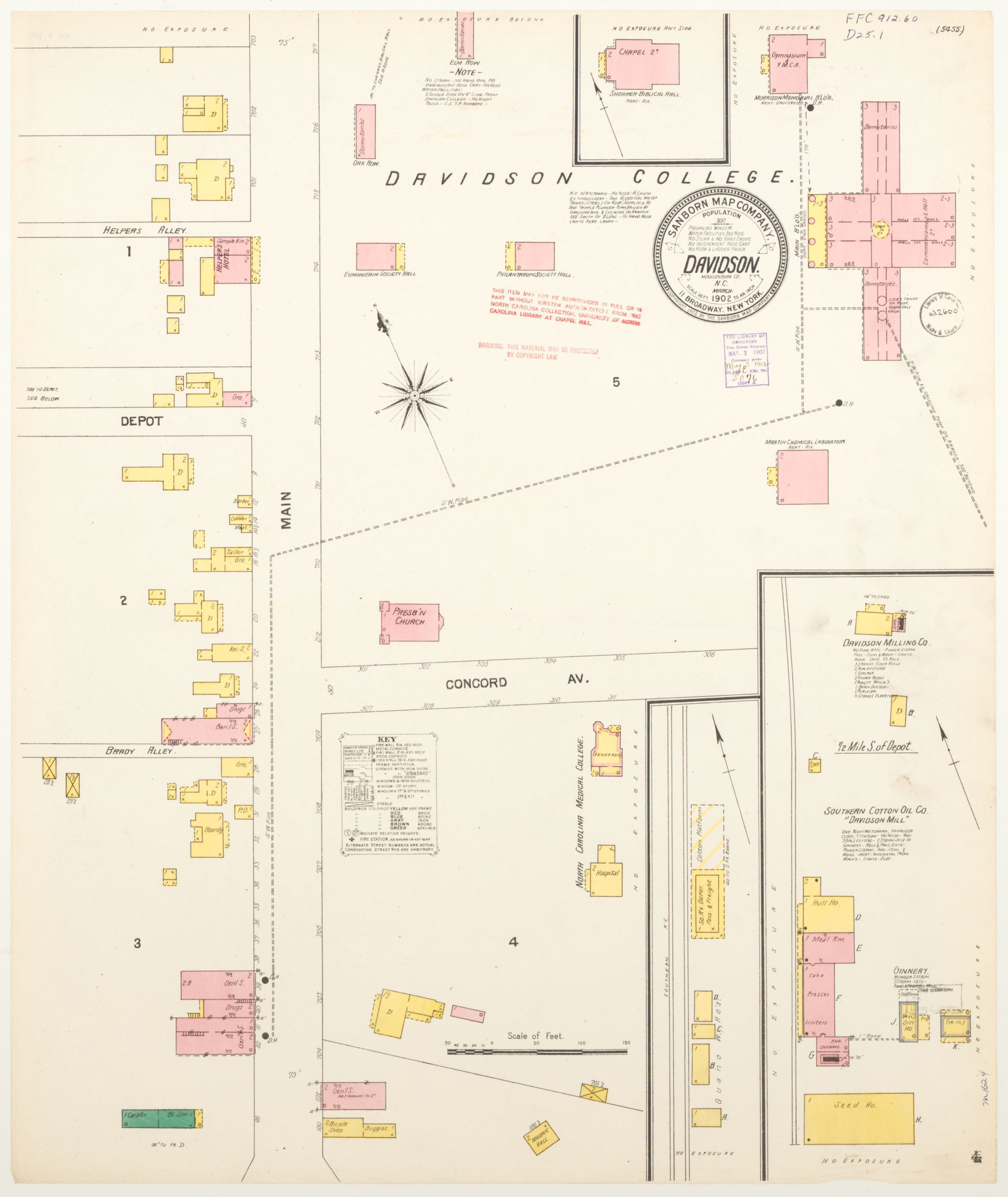
Davidson: Built Around the College
Davidson grew around Davidson College, and its structure and culture were shaped heavily by the campus and the railroad running through it. It became more centralized than its neighbors, with early signs of industry, like cotton mills and mill housing, beginning to take shape alongside it.
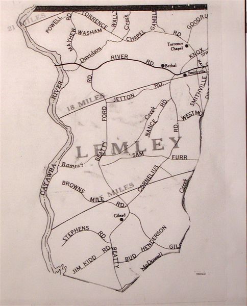
Huntersville and Cornelius
Huntersville functioned as a hub for cotton production and distribution. Farms, mills, and rail access, supported by a functioning post office system, made it a key point for moving goods beyond the local area and supporting the region's broader economy.
Cornelius remained more rural by comparison, deeply rooted in farming and closely tied to nearby mills. Travel between towns wasn't always reliable, with roads between Cornelius and Davidson often impassable due to weather, so land ownership and proximity mattered even more.
Some of that early infrastructure is gone now, but not all of it. Oak Street Mill, originally built in the early 1900s, still stands as a physical link between that agricultural past and the ongoing evolution of the area. And that's where the Knox family comes in.
One Family, Generations of Ground